
Santa Fe Trail Center in Pawnee County, Kansas, at Fort Larned.
Towns & Places:
Burdett
Garfield
Larned – County Seat
Rozel
Sanford – Unincorporated
Extinct Towns of Pawnee County
Fort Larned National Historic Site
Museums & Historic Sites
Arkansas River
Arkansas River Lowlands
Love’s Defeat (1847)
Pawnee Fork (River)
Pawnee County Photo Gallery
Smoky Hills of Kansas
Santa Fe Trail in Pawnee County

Pawnee County, Kansas
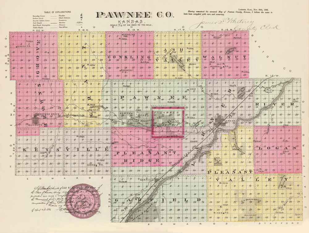
Pawnee County, Kansas Map by L.H. Everts & Co., 1987.

Pawnee Men.
Located in south-central Kansas, Pawnee County was created in 1867 and named for the Pawnee Indians, who had long inhabited the area and used it as their hunting grounds.
Years before the county was created, Fort Larned was established on the Santa Fe Trail in the fall of 1859, and the buildings were completed in 1860. In 1862, a post office was established at the military post. However, no other settlers came to the area until 1864, when Samuel Parker established a ranch about a mile and a half above the mouth of Pawnee Fork. The following year, he built another ranch house farther up the stream, which he sold to Tortat & Fletchfield. In 1867, this ranch was in the hands of Mr. Wagginer, whose wife was the first white woman in the county. However, after the area Indians ran off the stock and burned the buildings, the ranch was sold to A.H. Boyd, whom the Indians also harassed. In 1868, his stock was also run off. Sometime later, while Boyd and another man named McGinnis were traveling back from Fort Larned, they were attacked by Indians, who killed McGinnis and stole his horse. Boyd barely escaped with his life. The last Indian raid occurred in 1871 when ten mules and six horses were run off from the Boyd Ranch. Among other early settlers were John Haney, William White, Henry Booth, F.C. Hawkins, F. S. Burleson, T. McCarthy, and George Nolan.

Larned, Kansas, 1876.
On November 4, 1872, Governor James M. Harvey issued a proclamation organizing the county, designating Larned as the temporary county seat, and appointing public officers and commissioners. That same year, several new settlers arrived in the area, including George B. Cox. The first general store in Larned was established by Colegrove & Russell in June 1872. The first general election occurred on November 5, 1872.
In 1873, the county was divided into townships, and a colony from Geneva, Ohio, settled in Garfield Township in May. Adams Peabody also settled in Pleasant Valley Township. The settlement of Garfield gained a post office in June 1873, with E.W. Grover as its first postmaster. Soon, there would also be post offices in the burgeoning settlements of Burdett, Frizell, Larned, Point View, Ray, Rozel, and Sanford. The population in 1873 was estimated at 150, but it continued to grow; by 1876, there were nine school buildings in the county.

Grasshoppers, 1874.
In July 1874, the county was plagued by grasshoppers that came in swarms so large they blocked out the sun, bringing near-total destruction. That same year, county settlers received their last Indian scare, bringing numerous settlers from outlying communities into Larned, though nothing resulted from the scare.
By 1882, the county’s population had increased to over 4,300, and by 1900, to more than 5,000. By this time, the county had developed primarily into an agricultural area.
Today, Pawnee County’s mainstay continues to be farming and ranching, supporting more than 6,500 people. Several remnants of its past can be seen at the Fort Larned National Historic Site, located six miles west of Larned. The 1859 fort has been fully restored, and several impressive trail ruts are visible at the site. Just two miles west of Larned is the Santa Fe Trail Center, which tells the story of the Santa Fe Trail and includes a sod house, schoolhouse, and dugout. At Coon Creek Crossing on the Santa Fe Trail, more trail ruts can still be seen on the creek’s north bank. It is located about 1 ½ miles west of Garfield, Kansas.
©Kathy Alexander/Legends of Kansas, updated April 2026.
Also See:
See Sources.