
Kansas Rivers & Lakes Map. Click for 8.5 x 11 printing.
Kansas Rivers & Creeks:
Arkansas River at Geuda Springs, Kansas by Kathy Alexander.
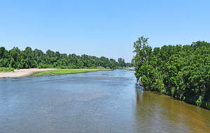
Kansas River at Lawrence, Kansas.
Smoky Hill River near Enterprise, Kansas, in Dickinson County.
Lakes & State Parks
Atchison State Fishing Lake & Wildlife Area – Atchison County
Big Hill Lake – Labette County
Brown State Fishing Lake and Wildlife Area – Brown County
Cedar Bluff State Park – Trego County
Clinton Lake and State Park – Douglas County
Cowley State Fishing Lake & Waterfall – Cowley County
Cross Timbers State Park – Woodson County
Fall River State Park & Reservoir – Greenwood County
Goodman State Fishing Lake – Ness County
Hillsdale State Park – Reservoir and Wildlife Area – Miami County
Horse Thief Reservoir – Hodgeman County
John Redmond Reservoir – Coffey County
Kanopolis Lake and State Park – Ellsworth County
Lake Fort Scott – Bourbon County
Lake Scott State Park & Wildlife Area – Scott County
Lake Wabaunee – Wabaunsee County
Melvern Lake & Eisenhower State Park
Miami State Fishing Lake & Wildlife Area – Miami County
Milford Lake & State Park – Geary County
Neosho State Fishing Lake – Neosho County
Perry Lake State Park – Jefferson County
Rock Creek Lake & Waterfall – Bourbon County
Toronto Lake & Cross Timbers State Park – Woodson County
Tuttle Creek Lake and State Park – Riley County
Dam Foolishness at Tuttle Creek
Wilson Reservoir & State Park – Russell County
Webster Reservoir & State Park
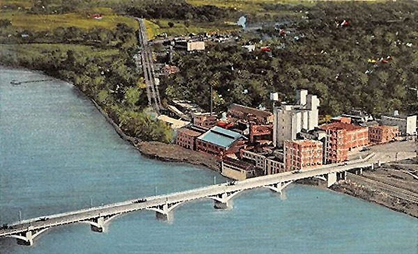
Wyandotte County Lake & Park – Wyandotte County
Water Falls
Butcher Falls – Chautauqua County
Cowley Waterfall – Cowley County
Drury Dam Waterfall – Sumner County
Geary Falls – Geary County
Ozro Falls – Chautauqua County
Pillsbury Crossing – Riley County
Rock Creek Lake & Waterfall – Bourbon County
Other
Cheyenne Bottoms Wildlife Area

Cattle at the Smoky Hill River in Ellsworth County, Kansas by Alexander Gardner, 1867.

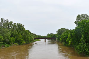
Missouri River at White Cloud, Kansas by Kathy Alexander.